-
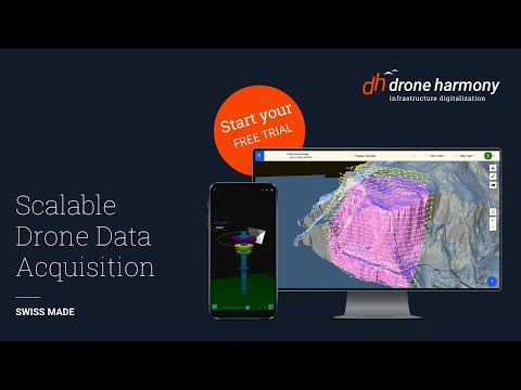
Drone Harmony automates mission planning in the most challenging vertical inspection scenarios, guaranteeing high-quality, and reproducible data collection by pilots with minimal training. The benefit for your business is a reliable and scalable data acquisition process tailored for your industry and use case.
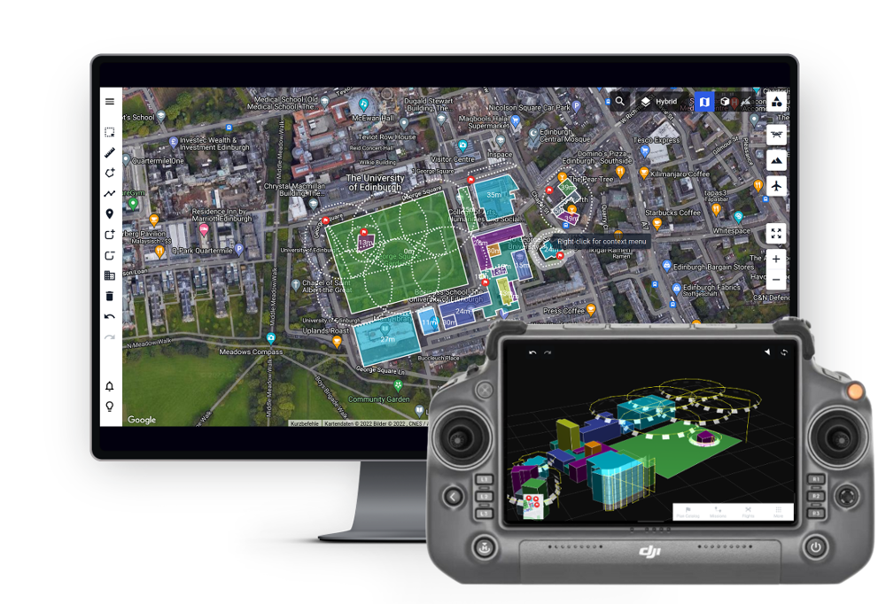
Fully featured 3D data capture platform for extensive drone operations requiring terrain data and high-end professional drones.
PLEASE ALLOW 24 HOURS FOR LICENCE ACTIVATION. THIS WILL BE EMAILED TO YOU.Model Number: Drone Harmony 1 Year Enterprise Starter
-
- Custom terrain data processing & storage
Custom image storage
Custom access to Airbus WorldDEM 12-meter grid global data
Custom map overlay processing & storage (GeoTiffs, *.tiff)
Access to high-quality country-wide terrain data sets
DJI Mavic & Phantom Series, Spark*
DJI Inspire Series *
DJI Matrice Series *
Parrot Anafi Ai
Android App for flight planning & execution
iOS App for flight execution
Webportal for flight planning
Professional automated missions
Airspace Safety Information (UTM)
- Custom terrain data processing & storage
-
- 1 Year Enterprise Starter License
- 1 Year Enterprise Starter License
-
Limited Drone Harmony